
Hosted by Shrewsbury Geospatial Group in collaboration with Shropshire Council, this 2 hour workshop is suitable for businesses and individuals with an interest in how geospatial data can be used to visualise and understand historic environments.
AGENDA:
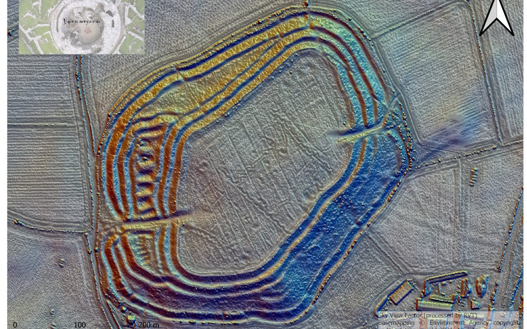
10:00 – 10:20 Geospatial Data and Visualisation in a Local Authority Heritage Service, Giles Carey, Shropshire Council
10:20 – 10:40 UAS Photogrammetry, RGB, Multispectral and Thermal Surveys of the Historic Environment, Adam Stanford, Aerial Cam
10:40 – 11:00 Surveying of Scottish Castles, Mark Combes, Severn Partnership
11:00 -11:30 A series of 10 minute talks TBC
11:30 – 12:00 Networking
We would love for this event to be in person. However, there is a high chance it will have to be virtual. This will be confirmed in the New Year.
Details: Thursday 13th January, 10:00am – 12:00pm. To register for this event, please click here.
CREST@UCS is part funded by the European Regional Development Fund (ERDF).
